2. RADAR, CHART RADAR OPERATION
2-60
2.41 Chart Radar Functions
2.41.1 How to switch between radar and chart radar modes
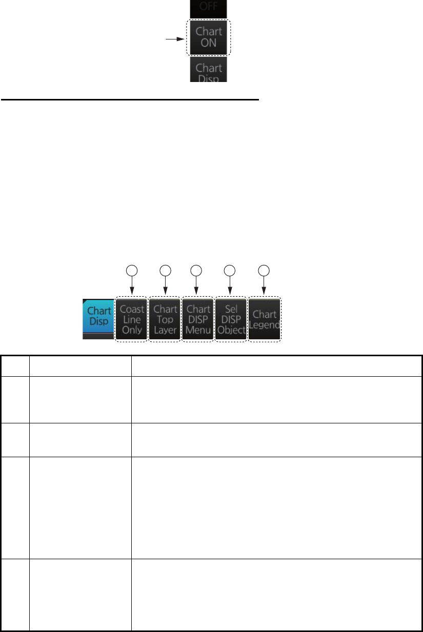
Click the [CHART ON/OFF] button on the InstantAccess bar to show or hide the chart.
Indication on button and corresponding mode
[Chart ON]: Chart radar mode active. (Chart and radar picture are displayed.)
[Chart OFF]: Radar mode active. (Only the radar picture is displayed.)
When the GPS position is lost, the chart radar mode cannot be used. When this oc-
curs, the label on the button shows [Chart OFF] and the button is grayed out.
2.41.2 How to show or hide chart objects
The [Chart Disp] button on the InstantAccess bar has several buttons which control
chart object visibility.
No. Item Function
1 [Coast Line Only] Hold down the left button to temporarily display only the
coastline. Chart symbols (depth contours, navigation buoys,
etc.) are temporarily erased from the screen.
2 [Chart Top Layer] Hold down the left button to temporarily put the chart objects
(buoy, lighthouse, etc.) on the top layer.
3 [Chart DISP Menu] Show the [CHART DISPLAY] menu, where you set safety
contours, safety depth, etc. See the figure on the next page
for the content of this menu and see section 8.2 "How to
Control Visibility of Chart Objects" for details.
Note: This menu can also be shown by right-clicking the
[CHART ON/OFF] button and selecting [Chart Display
Menu].
4 [Sel DISP Object] Show the [SEL DISPLAY OBJECT] menu, where you can
select the chart objects and text to show or hide. See the
next page for the menus and see section 8.3 "How to Con-
trol Visibility of Symbols, Features" (symbol display) for de-
tails.
[Chart
ON/OFF]
button
1 2 3 4 5
