PRIMUS
R
660 Digital Weather Radar System
A28–1146–111
REV 2
Radar Facts
5-48
N
AD–15560–R1@
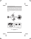
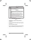
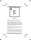
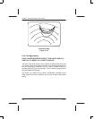
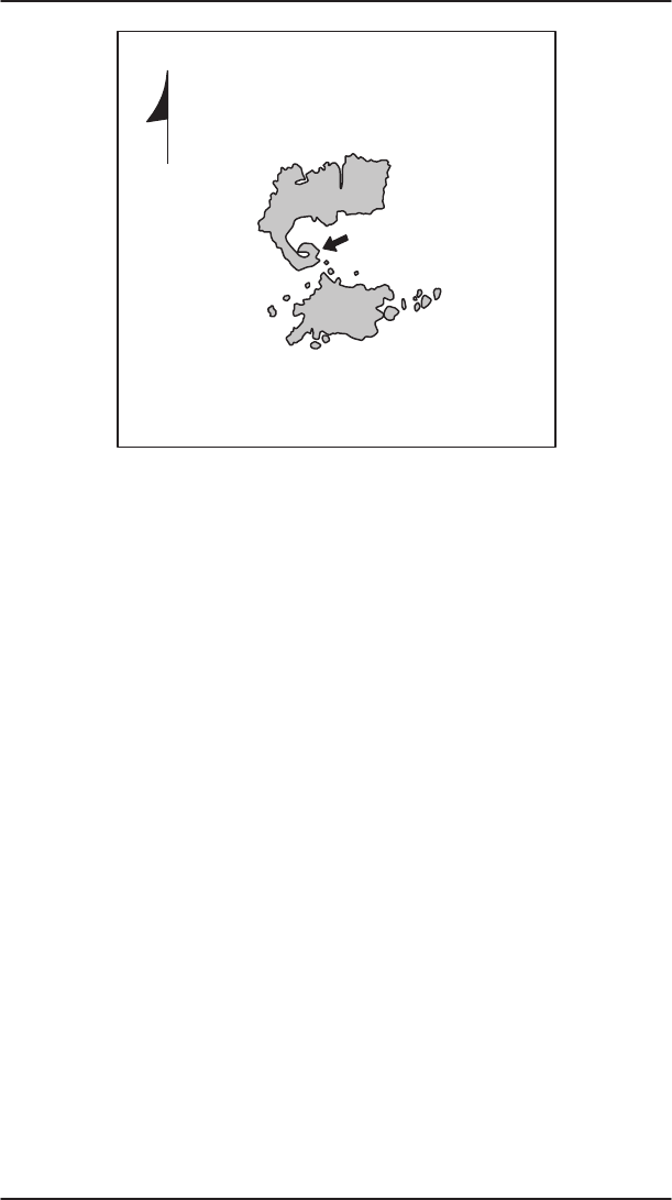
Typical Hook Pattern
Figure 5–40
The hooks are located at the right rear side of the thunderstorm echo’s
direction of movement (usually the southwest quadrant).
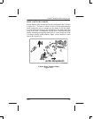
The hook is not the tornado echo! A small scale low pressure area is
centered at the right rear side of the thunderstorm echo near its edge.
The low usually ranges from about 3 to 10 miles in diameter.
Precipitation is drawn around the low’s cyclonic circulation to form the
characteristic hook shape. Tornadoes form within the low near hook.
According to statistics from the NSSL, almost 60 percent of all observed
hook echoes have tornadoes associated with them. A tornado is always
suspected when a hook echo is seen.
A hook can form with no tornadoes and vice versa. However, when a
bona fide hook is observed on a weather radar, moderate or greater
turbulence, strong shifting surface winds, and hail are often nearby and
aircraft should avoid them.
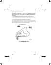
There are many patterns on radar that resemble hook echoes but are
not associated with severe weather. Severe weather hook echoes last
at least 5 minutes and are less than 25 miles in diameter. The favored
location for hook echoes is to the right rear of a large and strong cell,
however, in rare cases tornadoes occur with hooks in other parts of the
cell.


