PRIMUS
r
880
Digital
W
eather
Radar
System
A28-1146-102-00
Radar Facts
5-48
RELATIVE FREQUENCY
60%
40%
20%
0%
80%
100%
1/2” HAIL
1/4” HAIL
3/4” AND LAGER HAIL
AD-15358-R1@
LEVEL 2
YELLOW
LEVEL 3
RED
LEVEL 4
MAGENTA
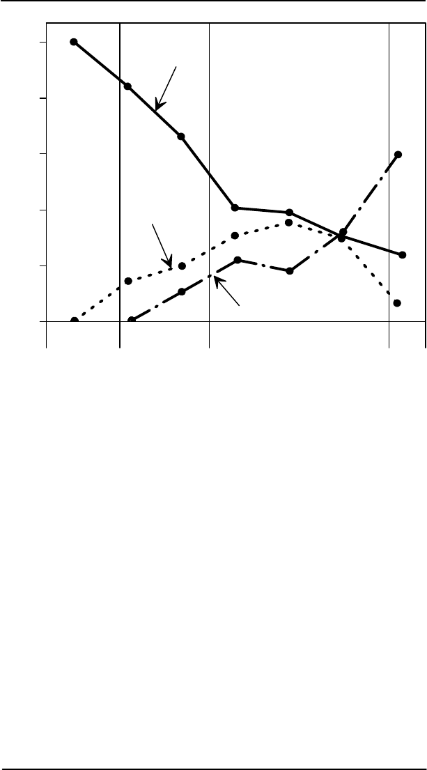
Hail Size Probability
Figure 5-35
Spotting Hail
As previously stated, dry hail is a poor reflector, and therefore
generates deceptivelyweak or absent radar returns.When flying above
the freezinglevel, hail can beexpected in regionsabove andaround wet
storm cells found at lower altitudes. The hail is carried up to the
tropopause by strong vertical winds inside the storm. In large storms,
these winds can easily exceed 200 kt, making them very dangerous.
Since the core of such a storm is very turbulent, but largely icy, the red
core on the radar display is weak or absent and highly mobile. The
storm core can be expected to change shapes with each antenna scan.


